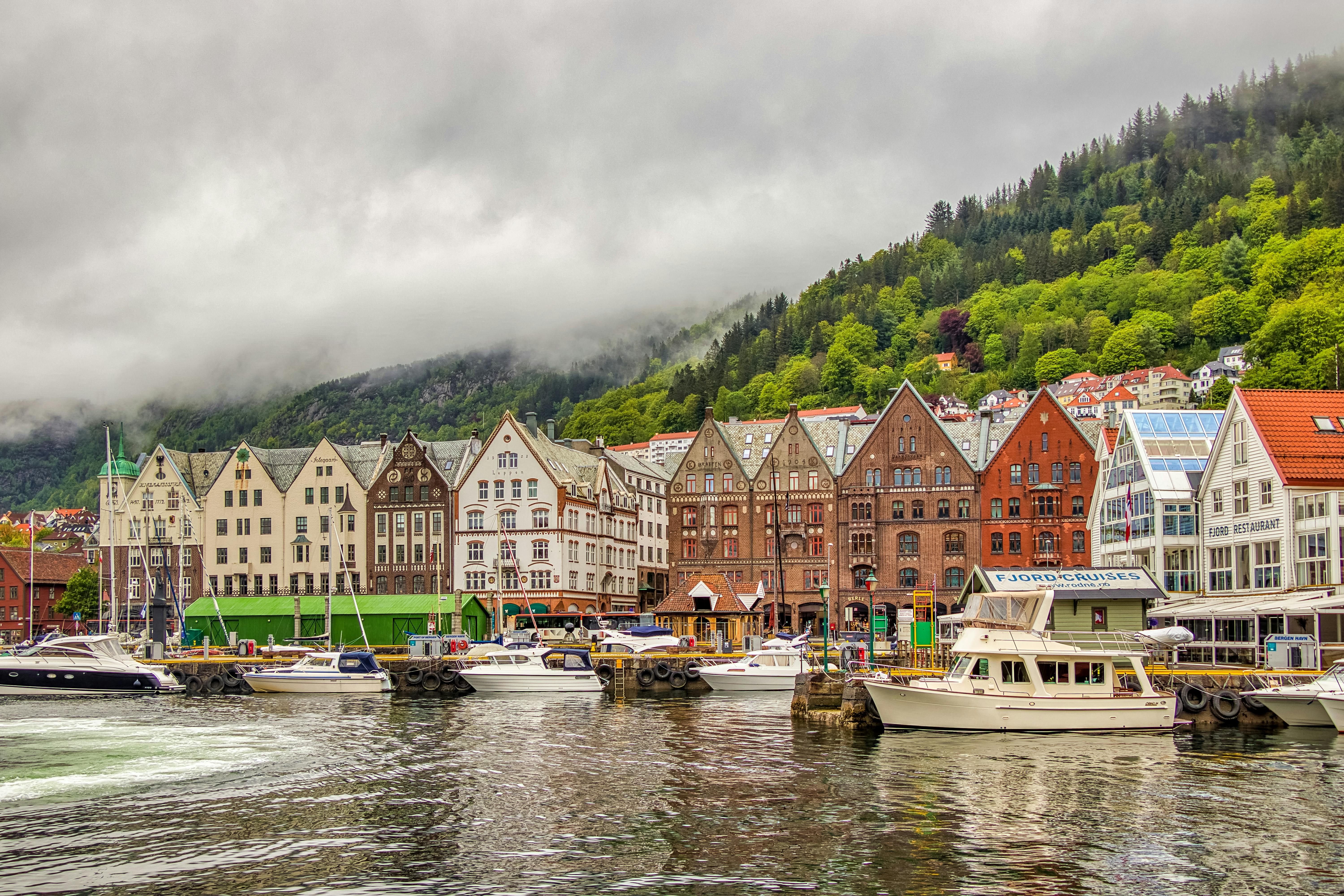
A walk through Darnley
How to get there: By train from Glasgow Central Station to Priesthill and Darnley Train Station or by early bus 56/56A and 57/57A. Please always check before you leave. In 1968, the City of Glasgow approved the construction of 2,048 homes in Darnley. This plan was to occupy an area north of Nitshill Road covered by Leggatston Farm. A total of 1,336 apartment blocks from two to seven floors with roof access were built. Two elementary schools and a community center were also included. A social club and bowling alley, a church, a small shopping center, and a library were added throughout the 1970s.
(1) Priesthill and Darnley railway station
This station was opened by British Rail on April 23, 1990. The line was originally called the Glasgow, Barrhead and Neilston District Railway from 1845 to 1851, when the company was taken over by the Caledonian Railway. This station is located between Nitshill railway station and Kennishead railway station. At the time of the Glasgow, Barrhead and Neilston District Railway and the Caledonian Railway, no station existed here.
Looking across the track towards Priesthill, a mill called the Victoria Mill was located here in the 1840s.
(2) Rock burn
Brock Burn tours Darnley and Pollok.
(3) Original location of Kennishead Road
Kennishead Road originally ran from Nitshill Road outside Darnley Mill diagonally to where the M77 now crosses Kennishead Road at Kenniholm Avenue. The road was realigned in the 1970s due to the construction of the Darnley Estate.
(4) Leggatston Farm
This was a well known farm in the area. Demolished due to construction of the Darnley Estate.
(5) Darnley sycamore
Mary Queen of Scots is said to have nursed her ailing husband, Henry Stuart, Earl of Darnley, under this Sycamore. This tree would have been in existence in the 1560s when Darnley died in 1567.
(6) Toll point
Located just west of Darnley Sycamore
(7) Darnley Hospital
Darnley Hospital operated from 1897 to 1992. It was originally an infectious diseases hospital and was later used for tuberculosis patients. The hospital became a geriatric hospital until its closure. The site is now a private nursing home.
Glasgow Herald, December 6, 1937
(8) Darnley Fire Station
Darnley Fire Station Memoirs
(9) Darnley Mill
canmore record
Glasgow history page
The maps of Pont (1583-96), Blaeu (1654) and Moll (1745) show the map of Darnley (or Darly) and Roy (1747-55) It is John Ainslie’s Map of Renfrew County (1800) the first showing the location and presence of Darnley (or Darnlie) Mill.
On the first edition of the Ordnance Survey map (1858-64), the mill is specifically mentioned as a corn mill. Currently the mill is a restaurant.
(10) Darnley Lime and Fireclay Works
Originally annotated on the Ordnance Survey 2nd Edition (1st Revision) map (1896-1899) as Darnley Lime Works. The works were located just to the south of Darnley Mill.
(11) gun battery
Located approximately on Langford Drive. There are no remains in sight as the area is now a housing estate.
(12) Old Mine Shaft
More remains of the mining and quarrying that took place at Darnley. This area is fenced off due to subsidence.
(13) Darnley House/Bleachfield Darnley
On Thomas Richardson’s 1795 map, the site is labeled “Darnley Bleachfield, Mr. Tennant”. It was at his Darnley bleaching plant that Charles Tennant (1768-1838) produced the chemical combination of chlorine and powdered lime that led to the development of powdered bleaching. It seems likely that he obtained the lime he used in this process from local quarries. When the first edition Ordnance Survey maps were produced, Darnley Bleachfield is simply referred to as Darnley House. Looking closely at the land around here, you’ll see some marks of a residence here, like the way the trees were planted.
(14) Curling Pond
It is all that remains of Darnley House.
(15) Ruined House
This two-story building has been around for 150 years, but has kept its history to itself. No one knows for sure what or who used the house: Charles Tennant or part of the bleaching fields? The house is now in ruins and care must be taken when walking around it. Stay away from the walls and don’t go inside!
(16) Shooting Range Remains
Within the wood are two trenches which formed part of the Patterton Rifle Range and Darnley Rifle Ranges. The area is heavily overgrown and care must be taken when entering the area due to undergrowth and deep trenches.
(17) Gorbals Gravitational Waterworks Buildings
Beginning in 1845, the Gorbals Gravitational Water Company was established to provide clean water to the Gorbals area of Glasgow. At the top of Waulkmill Glen, before you reach the first reservoir, you’ll notice a stone-lined waterfall. The red sandstone arches contain gates set into the dam. The small structure in front of this also relates to the control of the flow of water.
(18) Pollok Castle
The castle appears to appear on Pont’s map (1583-96), as a castle named ‘Pook’. It also appears on Blaeu’s map of 1654. (Pook is mentioned as a name for Pollokshaws on Blaeu’s map “Pook Shaws”). Originally a simple tower house, the castle was rebuilt between 1686 and 1694 by Sir Robert Pollock. The southern and eastern walls of the previous tower house were removed and what remained of the structure was incorporated into a wing that extended to the east. The first edition of the Ordnance Survey map (1858-64) shows the castle and grounds in detail. The house was destroyed by fire in 1880, but photographs of the building before and after the fire survive. The house was rebuilt in 1886 in the Scottish baronial style, incorporating some of the surviving elements of the earlier structure.
The castle was requisitioned by the British Army in 1939, but the Pollock family occupied a wing of the house during the war. The estate was apparently used as an ammunition depot during this period. The house continued to be inhabited until 1944, when Miss Ferguson Pollock moved in and it was eventually abandoned. The poor condition of the building forced its demolition less than ten years later, in 1952. Most of the castle’s stone was sold and used as a hard core for an airstrip. Subsequently, it is believed that several prefabs were built on the site to form one large structure, but this was removed in the late 1970s. Today there is no visible trace of Pollock Castle, and the grounds contain private residences.
(19) Darnley Mains site
Located roughly where B&Q currently stands, this was a major farm operating in the area. If you continue towards the dams you’ll get some amazing views and see some wildlife (and not all the criminal variety!)
You can find a map to accompany this walk here: http://awalkaround.wordpress.com/a-walk-around-darnley/